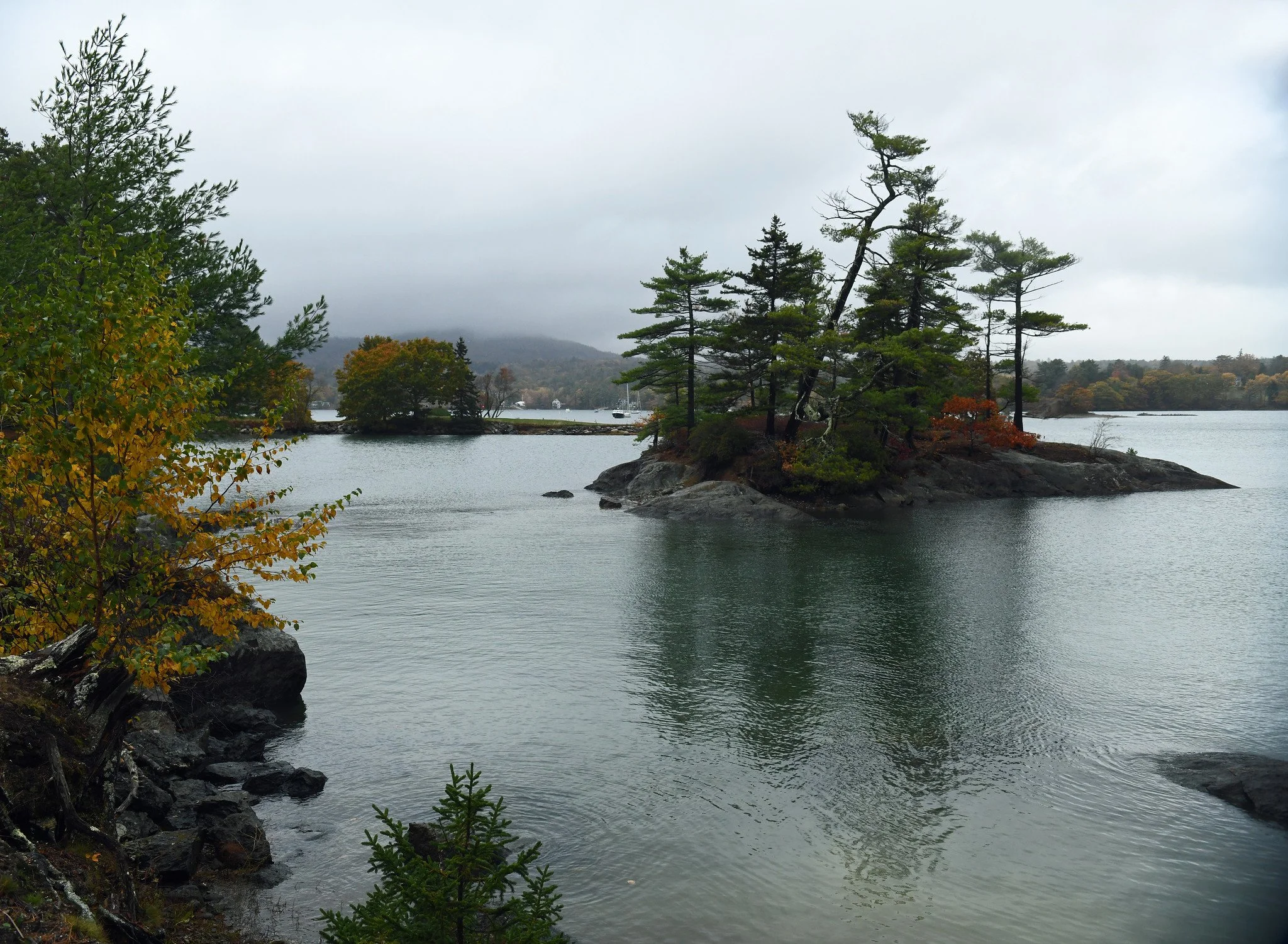
Here you see Wednesday’s fog and rain harassing Blue Hill Bay and the near-mountain called Blue Hill, itself. Although the rain was intense at times, it was not nearly sufficient to help Maine’s extreme and severe drought areas. See the latest U.S. Drought Monitor map:

That weekly federal report, issued yesterday, stated in part: “The most widespread area of Severe to Extreme Drought (D2-D3) [in the 12 Northeastern-most states] persisted across Maine and northern New England ….” The danger of devastating wildfires persists here. Please be careful out there with combustibles, folks. (Photo taken in Blue Hill, Maine, on October 22, 2025.)