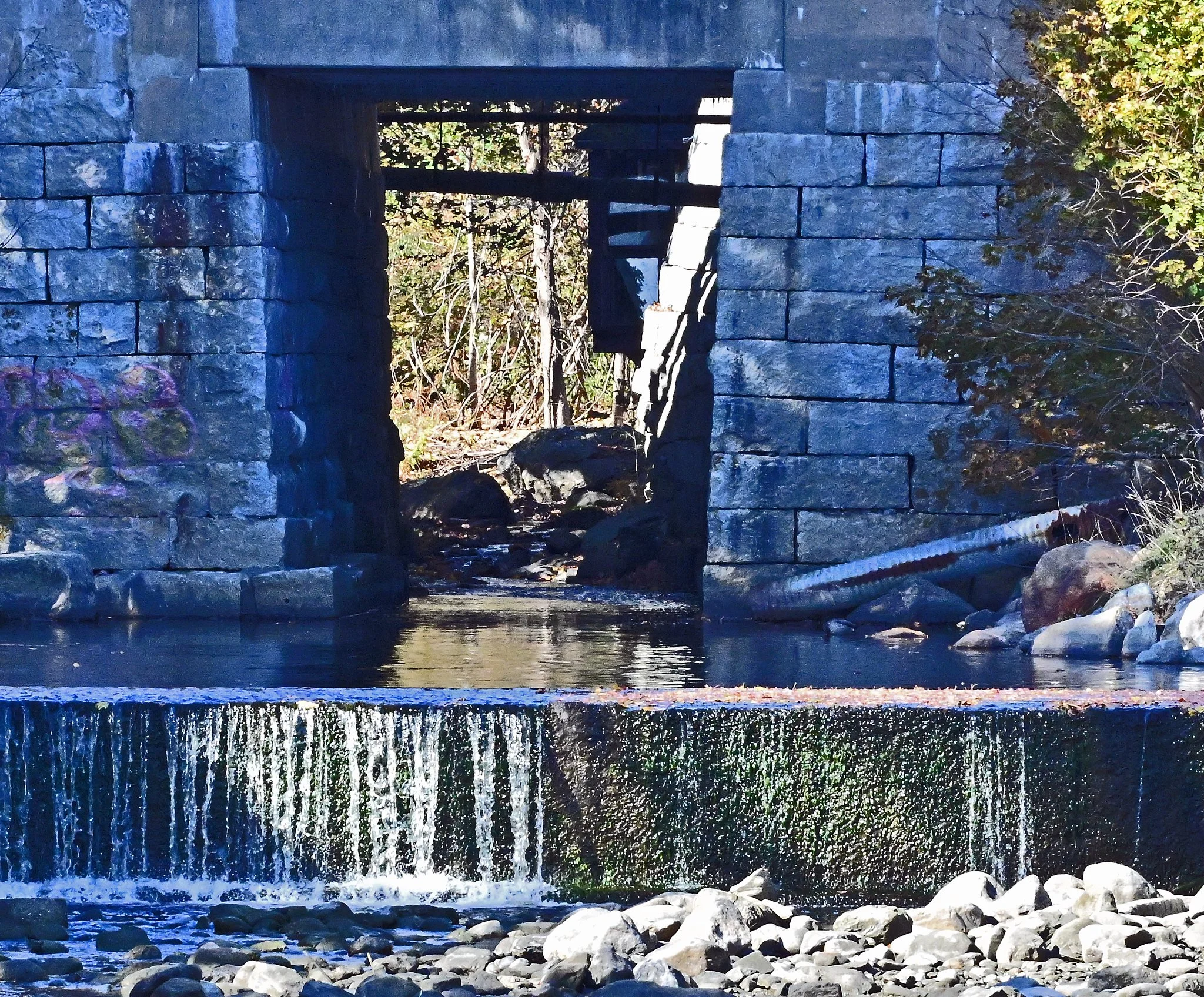
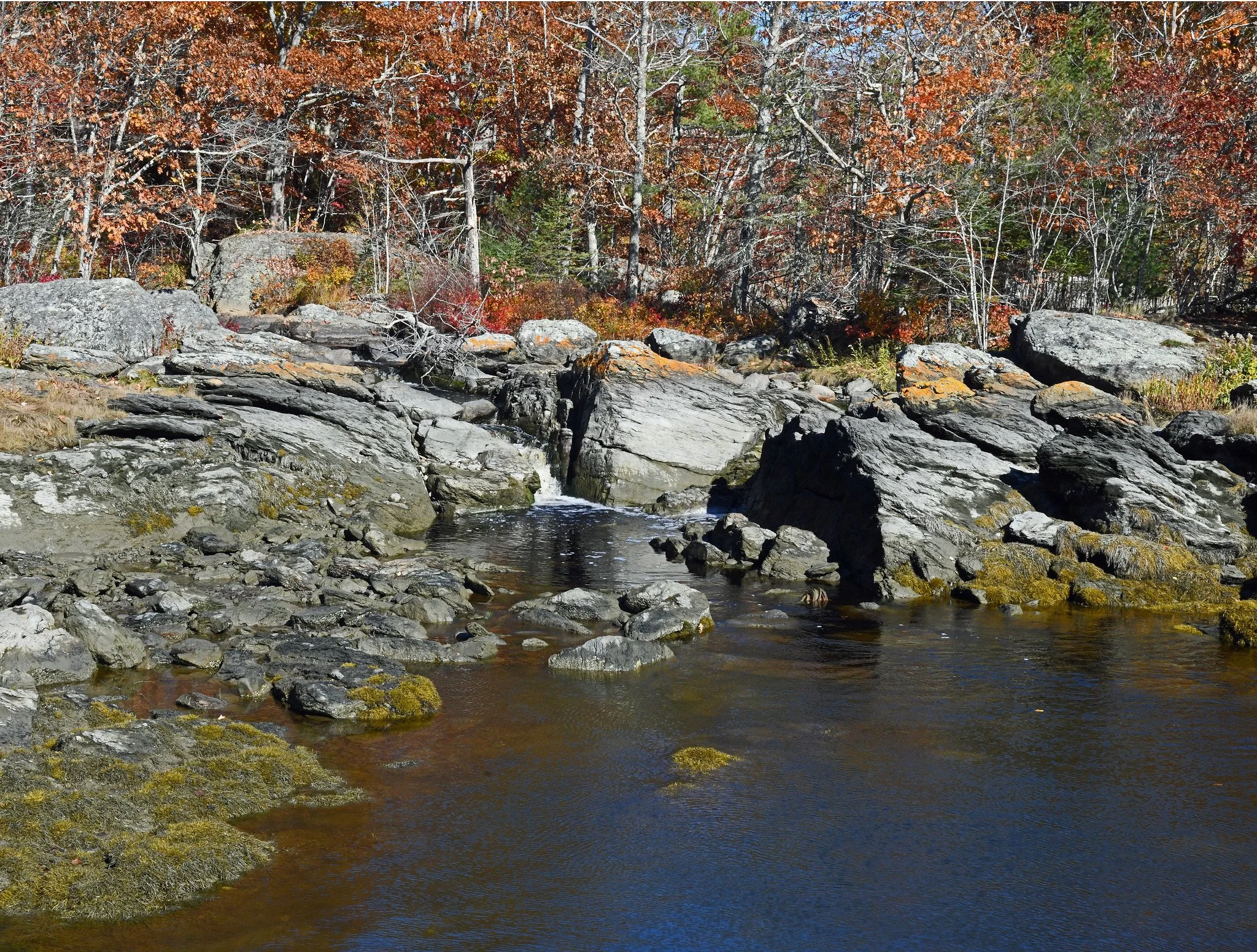
Here you see the weak flow of Blue Hill’s Mill Stream at it’s mouth at Blue Hill Bay yesterday. Below, you’ll see the weak flow of Surry’s Patton Streat at its mouth at Patton Bay that day:
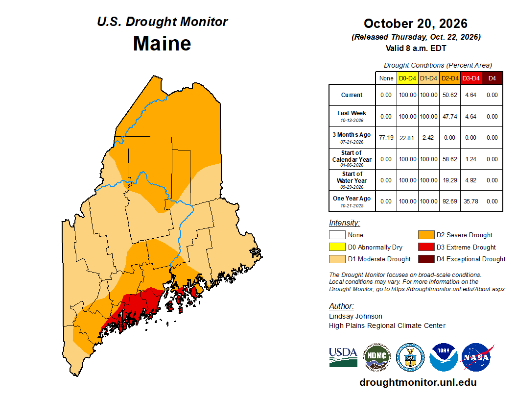
Down East Maine remains in severe, long-lasting drought and wells continue to go dry. The latest U.S. Drought monitor for the week ending October 20 reports that: “Maine was the only state in the [Northeast] region to experience deterioration, with a slight expansion of severe drought (D2) in the north amid persistent moisture shortages.” That Northeast region contains 12 states: Connecticut, Delaware, Maine, Maryland, Massachusetts, New Hampshire, New Jersey, New York, Pennsylvania; Rhode Island, Vermont and West Virginia. Here’s the official map of Maine:
Why Us? One report says that: “Maine is experiencing a more severe, multi-year drought than much of the rest of New England because of an accumulated precipitation deficit of up to 1 to 2 feet dating back to June 2025, combined with a failed winter snowpack runoff and dry soils that block quick absorption.”