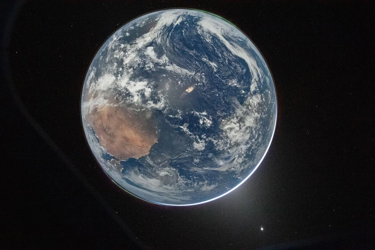
This lovely, but annoying, image of that miracle called Earth was taken during the flight of the Orion spacecraft earlier this month. It drives me crazy to look at it because the southern Atlantic and South Pole are on top; the Northern Atlantic, North Pole and Venus on bottom; Africa is on the left, and South America on the right. I get disoriented looking at it.
My problem is that I suffer from a northern hemisphere bias of what a geographic representation should look like. I’ve been raised with the myth that there’s a physical, geographic up, down, right and left with a corresponding north, south, east and west. These concepts were invented eons ago for 2-dimensional thinking and communicating. They don’t apply in the 3-dimensional vastness of “outer space” that can be without enough gravity to keep a good man or woman “down.”
The literature indicates that the concept of east-west likely developed thousands of years ago through observations of the sun rising and setting. The north-south concept apparently developed later from observing the path of the sun at midday and the rotation of stars around the object now called the “North Star.” All of this was before the invention of the magnetic compass, which doesn’t point to “True North,” anyway. In fact, for a while, some cultures reportedly drew their maps with the east or south on top.
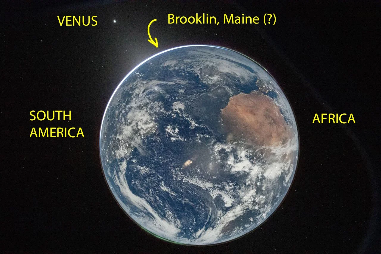
Nonetheless, my confusion due to this official (“upside-down”) National Aeronautics and Space Administration image was easily rectified by copying the image, rotating it 180° and labeling locations for posterity:
(The unedited NASA image was taken through a window of Orion on April 3, 2026, during its translunar injection burn.)